Everything, in one place
Built for the field.
Built for the office.
Every feature below ships in the app operators carry and the portal owners run the account from.
See it for yourself
A few screens
from the field.
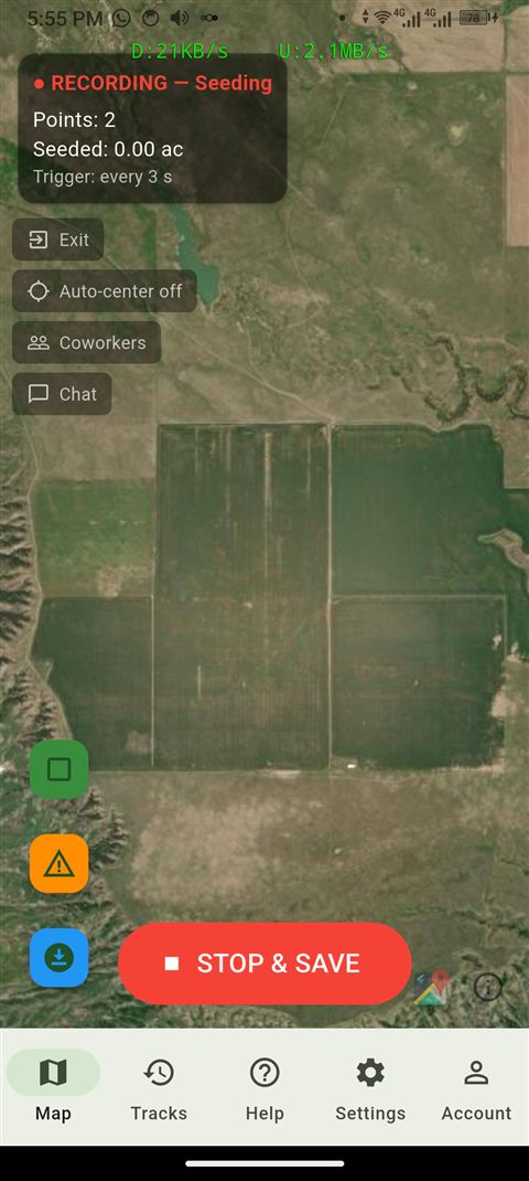
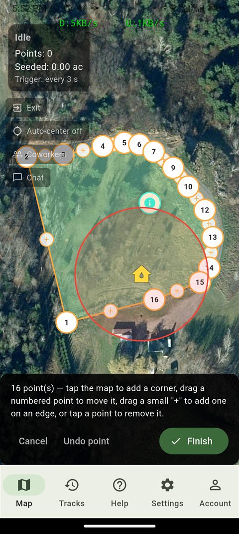
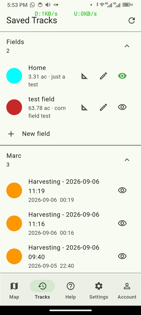
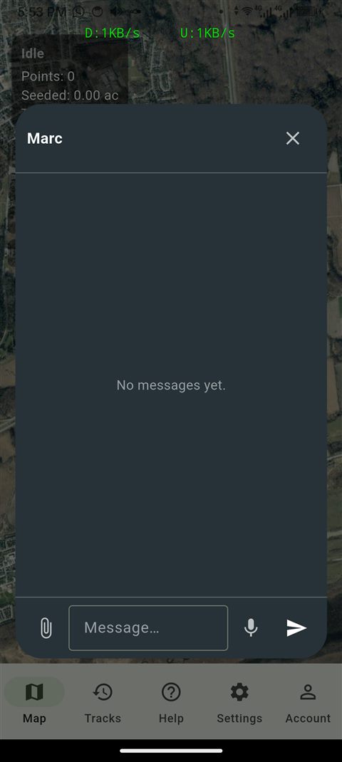
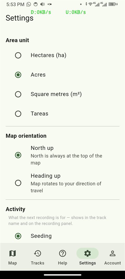
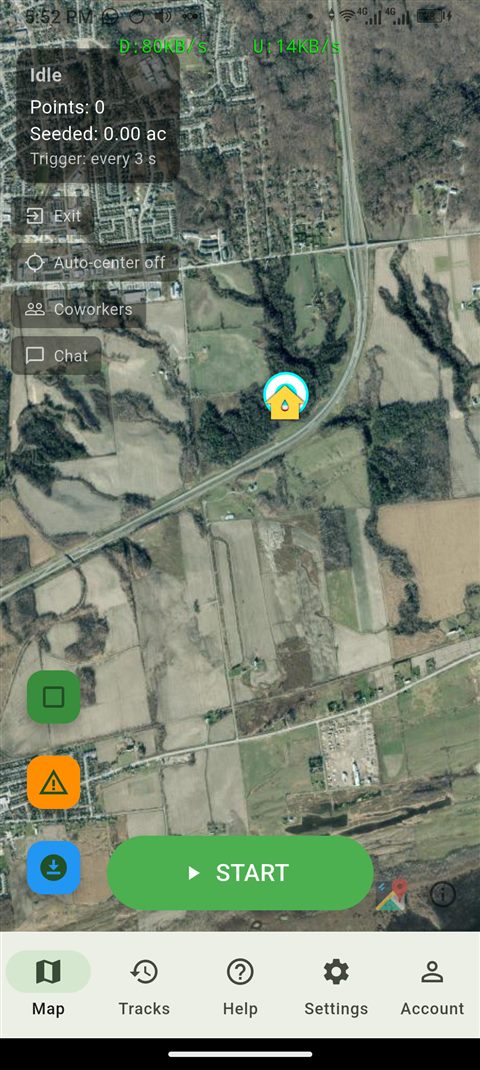
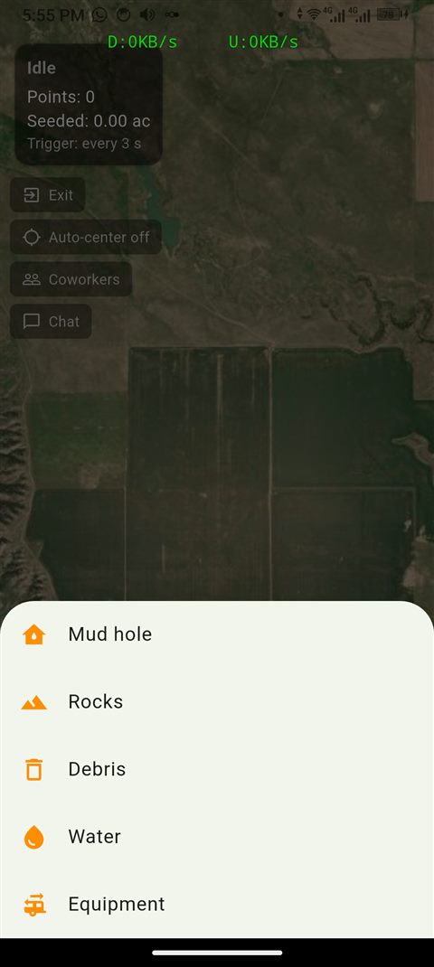
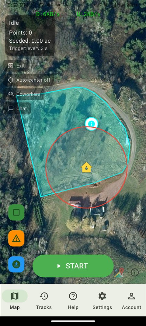
Farm GPS tracking app
What operators get in their pocket.
01Track recording by activitySeeding, harvesting, spraying, or another activity, with crop name, notes, and seeded/expected harvest dates.
02Live position sharingChoose which coworkers to see moving on the map, without the clutter of showing everyone at once.
03Real-width swathsPasses and live positions are drawn at your implement's actual width, so coverage looks the way it does on the ground.
04Draw or walk a fieldTap out a perimeter on the map, or walk or drive it with GPS and close the loop when you stop.
05Reshape any fieldDrag a corner to move it, pull a new one out of an edge, or tap a point to remove it.
06Worked area by activitySee a field's complete size next to its true worked area (overlap removed), split out per activity, in hectares, acres, m², or tareas.
07Auto-record by fieldPick a field in Settings and recording starts and stops on its own as you cross the boundary.
08Team chatText, voice notes, and photos, one-on-one or to the whole team, right from the map.
09Caution areasFlag mud, rocks, water, or parked equipment, and get an alert as you approach one someone else marked.
10Works without a signalKeep recording and moving with no connection at all — everything syncs the moment it's back.
11Offline map tilesPre-download a region's satellite imagery so the map still shows terrain miles from any coverage.
12Multiple languagesUse the app in English, Spanish, or French.
13Fix a gap, undo a mistakePatch a spot the GPS missed, or trim out ground that shouldn't count — both undoable, both reflected instantly in your worked-area totals.
14Merged coverage viewSee every overlapping pass as one solid shape instead of a patchwork of lines, with an adjustable setting for how close two passes need to be to count as joined.
15Your own colors, by activitySeeding, harvesting, spraying, and everything else each keep their own set of colors, so two different jobs never look like the same pass on the map.
16Choose your basemapSatellite imagery, a street map, or a plain background with nothing but your own fields and tracks — whichever is clearest for the job at hand.
17Worked area, even offlineYour worked-area totals stay available and accurate with no connection at all, syncing back to the exact server figure the moment you're online again.
Send the fleet, track the answer
A full farm dispatch system,
built in.
01Send a machine anywhereAssign a machine a route from any origin to any destination — a saved place, another machine, a field, a coworker's live position, or a quick typed note — in a few taps.
02Real acknowledgment, not guessworkThe operator accepts, declines, or reports a delay with a reason, and it's timestamped the moment they do — no more wondering if the message got through.
03Free to correct, if plans changeStatus doesn't only move forward — reset a mistaken "complete," or jump straight to "arrived" if a step got skipped. The full history stays intact either way.
04Everyone stays in the loopAn alert the moment a dispatch changes hands, with a switch to turn it off if you'd rather just check the board yourself.
05Know who's freeEvery operator's status — free or busy — updates automatically as they work through their dispatches, or can be set by hand.
06A live dispatch boardSee every machine, every route, and every response as it happens, from the office or right from the field.
The owner portal
What runs the account from the office.
01Seat managementAdd worker seats, assign a machine type and number, reset a password, or remove access — history stays with the seat.
02Live team mapSee everyone's position and any in-progress pass, the same view your workers get.
03Full track historyBrowse, rename, organize into folders, and export any track as GPX.
04Draw and manage fieldsTap out or walk a field's perimeter, reshape it anytime, and choose which fields workers can see.
05Let workers helpTurn on a single setting and worker seats can draw and reshape fields too, not just view them.
06Worked area reportsComplete size vs. true worked area per field, broken out by activity, in your unit of choice.
07Shared caution areasMark a hazard once and the whole team gets warned automatically as they approach it.
08Team messagingText, voice notes, and photos with any worker, or a broadcast to everyone at once.
09Subscription at a glanceSee your plan, seat usage, and billing status in one place.
10Fleet & saved destinationsTrack every machine and save reusable destinations — a silo, a shop, a gate — once, then dispatch to any of them in a couple of taps.